 |
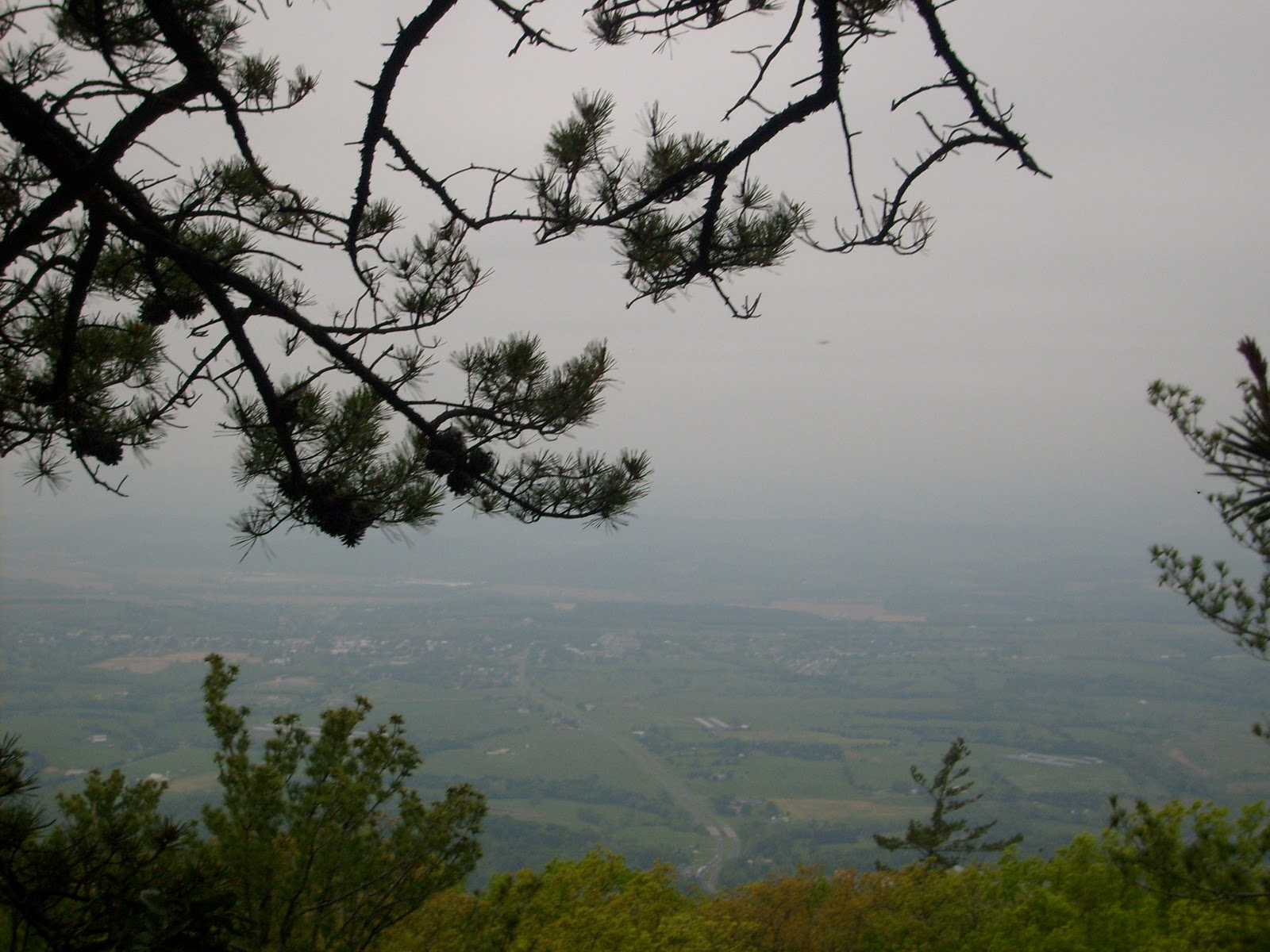
| View from the ridgeline |
Nearly the end of the month - but I wanted to share another of my hikes I've enjoyed this past year. I had the opportunity for a day hike in June along the crest of the Massanutten Range in Virginia, that is, the southern section, about 16 miles. I started at the old Massanutten Visitor Center off Rt 211 which is now closed. Originally I was trying to get dropped off at the very beginning of the trail, but we missed the parking lot and I ended up here. So instead of an 18 mile hike, it became 16 which was enough for me, actually. I took a short segment of the Wildflower Trail to intersect the Massanutten Mountain South Trail and followed orange blazing to the ridgeline for a hazy view.
 |
| Impressive anthills |
The trail then flattened out and meandered past many impressive anthills. It's really amazing to watch these industrious insects and what they can achieve.

The trail then dumped into a forest service road for a good five miles of road walking. It's not the most unique and scenic way to cross the mountain range, but you take what comes. I did not see anyone along the entire route.

The trail then exited into the woods and through some very wet, swampy areas reminiscent of my April slog through Pennsylvania. Ended up with wet feet but got to see some scenic ponds. The trail was a bit hard to follow with blazing very indiscriminate, but was able to distinguish the general route using a map.


I had no further trouble following the trail after that and ended up at Boone Run Shelter to find someone living there. I didn't stop to investigate but pressed on and met my ride at the trail's end in the valley floor.
This was a very adventuresome hike off the beaten path and in areas not frequented by other hikers. It offers everything from views to ponds to streams and has some good campsites. But a map is a necessity, and I would even consider the guidebook as well. PATC offers maps and guidebook of the region (I took both) as well as a nice map put out by National Geographic Trails Illustrated.
3 comments:
I love being able to find solitude for days on end. Sounds like an amazing hike.
Dani @ ONNO Organic Clothing
I noticed that you missed a trail junction and hiked an extra mile. Do you use a GPS unit on your hikes?
No GPS unit, I don't feel the need here in the east.
Post a Comment