Showing posts with label Allegheny Trail. Show all posts

Thursday, December 31, 2015

A Blissful Hiking Adventure in Review


As 2015 closes and a new year of hiking adventures begins, I like to take the time to review the past year of hiking and lessons learned.

Finish of the Massanutten Trail
Mid-winter saw me on a few days jaunt along the Appalachian Trail as I endeavor to complete yet another trek of this famed footpath over the course of many sections. The winter travel proved a bit dicey at times as I had regretfully left my traction devices at home. A good lesson learned – be prepared for winter conditions with the right gear. See my blog on Lessons Learned Winter Backpacking.  On my return home I also finished the Massanutten Trail in Virginia.

April saw me heading back to my ridgerunning job, first in Maryland where I had the opportunity to set up the caretaker site at Annapolis Rocks (my first real job at rigging tarps) as well as help the trail and hikers. In early May I celebrated with the Appalachian Trail Conservancy its first Flip Flop Hiker send-off as a panel guest and helping hikers reduce weight in several shake-downs.


The remainder of the summer I spent as a ridgerunner in Shenandoah National Park. While I’ve had many encounters with bears over my work the last three years, this past summer saw my first close up encounter as a bear decided to take a snack break on my unoccupied tent at Pass Mt Hut. Thankfully I had no gear in it but the tent needed replacing.


The fall saw my thru hike of West Virginia’s long trail – the Allegheny Trail, which I hiked from mid Sept and completed in early October (have any other women done a thru of this trail? I don’t really know). There were some casualties and tough times, with my leg suffering a major injury from a branch (the scar remains) and then afterwards when I developed an SI joint separation from the tough terrain (requiring a several week hiatus from hiking). But I learned much on the journey on how to cope with difficulties (like poor blazing, unmaintained trails, long road walks, solitary wandering) and also how much maintainers do to help the trails when you hike in areas that are unmaintained (like a quarter mile of thick thorns).


The finish at the AT / Allegheny Junction


I hope 2016 is a great year of adventures in hiking. And don’t forget our upcoming one day backpacker’s workshop in March – for new as well as old – where I bring all my many years of hiking to one dull day of learning and activities. Registration is now open!

Monday, October 19, 2015

West Virginia’s Long Trail – Thru Hiking the Allegheny Trail (ALT)

For my big hike this fall, I tackled the 300 plus mile long Allegheny Trail that spans the
Monongahela National Forest of West Virginia, starting at the PA border and stretching southwest until it reaches its southernmost terminus with the Appalachian Trail not far from Pearisburg, VA. It winds its way through some interesting and beautiful scenery – such as Blackwater Falls State Park and giant hemlocks, old coal towns, canyons, and ridgelines. It has a shelter system also of eight shelters. There are resupply points and friendly townsfolk (who may not understand WHAT you are doing but who want to help anyway!!)

It is important to note though this trail is NOT the Appalachian Trail with a well-trodden trail and white blazes heralding from tree trunks every 100 yards. Few people traverse this trail. There are places where you can hardly even find a trail. Some of the tread work on the hillsides is very narrow. In some areas the blazing too is very faint. It is a much more primitive trail in many aspects and thus one needs to be prepared for a primitive experience. There are blowdowns to amble over or under. 
Blowdowns are par for the course on a primitive trail
Heavy vegetation. Thorns. It is like the AT once was some 40 years ago with road walks, and friendly townspeople letting you stay places and trying to navigate a trail using maps and common sense. It takes determination, patience, and the ability to reason things out.

The website for the Allegheny Trail (see link below) provides the would-be hiker with a guidebook (yes it's over 12 yrs. old) and maps (fairly accurate). There are also multiple pages you must download and print up the updates (of which there are many). Hopefully soon they will actually update the guidebook as a while, but until then, you must download all the available info offered so you know where you are going (there are several reroutes in place that the guidebook and maps do not cover.

As I mentioned on this trail you need to use your common sense. Section One is mostly road walking and yes the blazes can sometimes be few,

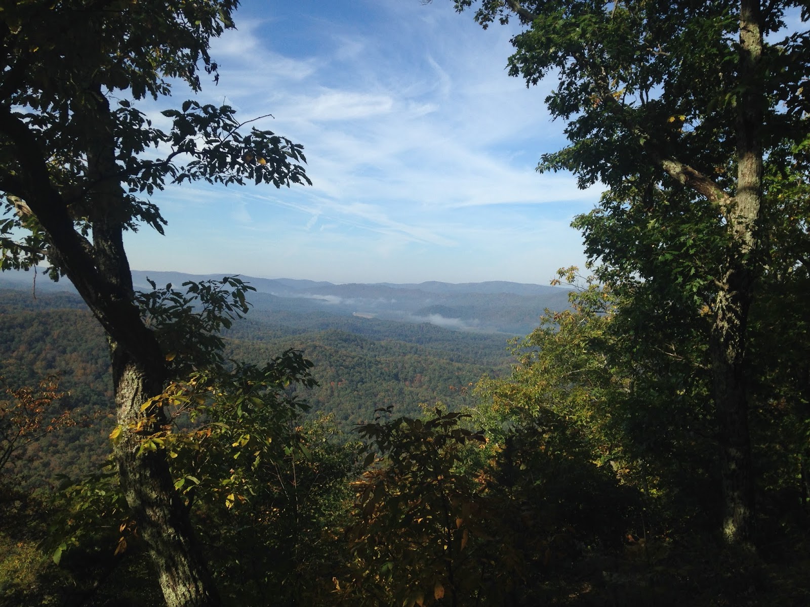
View from Middle Mtn
but follow the map and guidebook to help you. Section Three probably has the worst blazing on the ridgelines, and there you must look for faint traces of blazes and faint trail traces, along with using a map. Real pioneer stuff. I did not happen to bring a compass, but it’s probably not a bad idea to carry one. With the water sources, most streams were going (even though it had been pretty dry out.) I had a hard time finding most of the piped springs listed in the guidebook. Not to say they aren’t there, but I didn’t really see them but for two. So I would count them as unreliable in case you miss them like I did.

Most of the shelters are in fairly good shape. Over half of them don’t have reliable water sources (the two at Rowelsburg, Canaan Mtn, Waddel, Marlin Mtn) but you can walk water in from other sources (except for Marlin, it would be a LONG walk as that is a dry section).  If you are interested in a resupply sheet for the ALT, email me at
Graham Shelter. 
blissfulhiking(at)gmail(dot)com and I will be glad to send it on to you. The towns were pretty good, the people quite friendly.

All in all, the ALT was an interesting look into the world of thru hiking long ago where a trail is actually a journey in the wilderness, and for that I have much admiration for the pioneers of long distance hiking.

West Virginia Trails Association (for maps, guidebook, and other info)


Beaver Creek


Several one room schoolhouses along the road walk